TOPTAŞ ENERJİ / LiDAR / POWER TRANSMISSION LINES
UAV & LiDAR.
A strong foundation
from field to design.
UAV LiDAR surveying and mapping for power transmission lines. Engineering experience connecting the field with design decisions.
Energy transmission and distribution
OUR CORE EXPERTISE / UAV LiDAR LINE SURVEYING
LiDAR data.
Transmission corridors.
Engineering design.
Our focus is UAV LiDAR surveying for transmission lines: acquiring corridor and terrain information and connecting it with transmission-line design.
We consider surveying and mapping in relation to project needs to understand the terrain and line corridor.
Our technology and approach
ENGINEERING THAT KNOWS THE FIELD
Connected
with confidence.
For energy transmission and distribution infrastructure, we see terrain, data and engineering as parts of one whole.
We combine experience in surveys, plan and profile, electrical design, expropriation, setting out and construction in Türkiye and internationally with surveying, mapping and technical support.
Discover Toptaş EnerjiOUR AREAS OF EXPERTISE
From route
to reality.
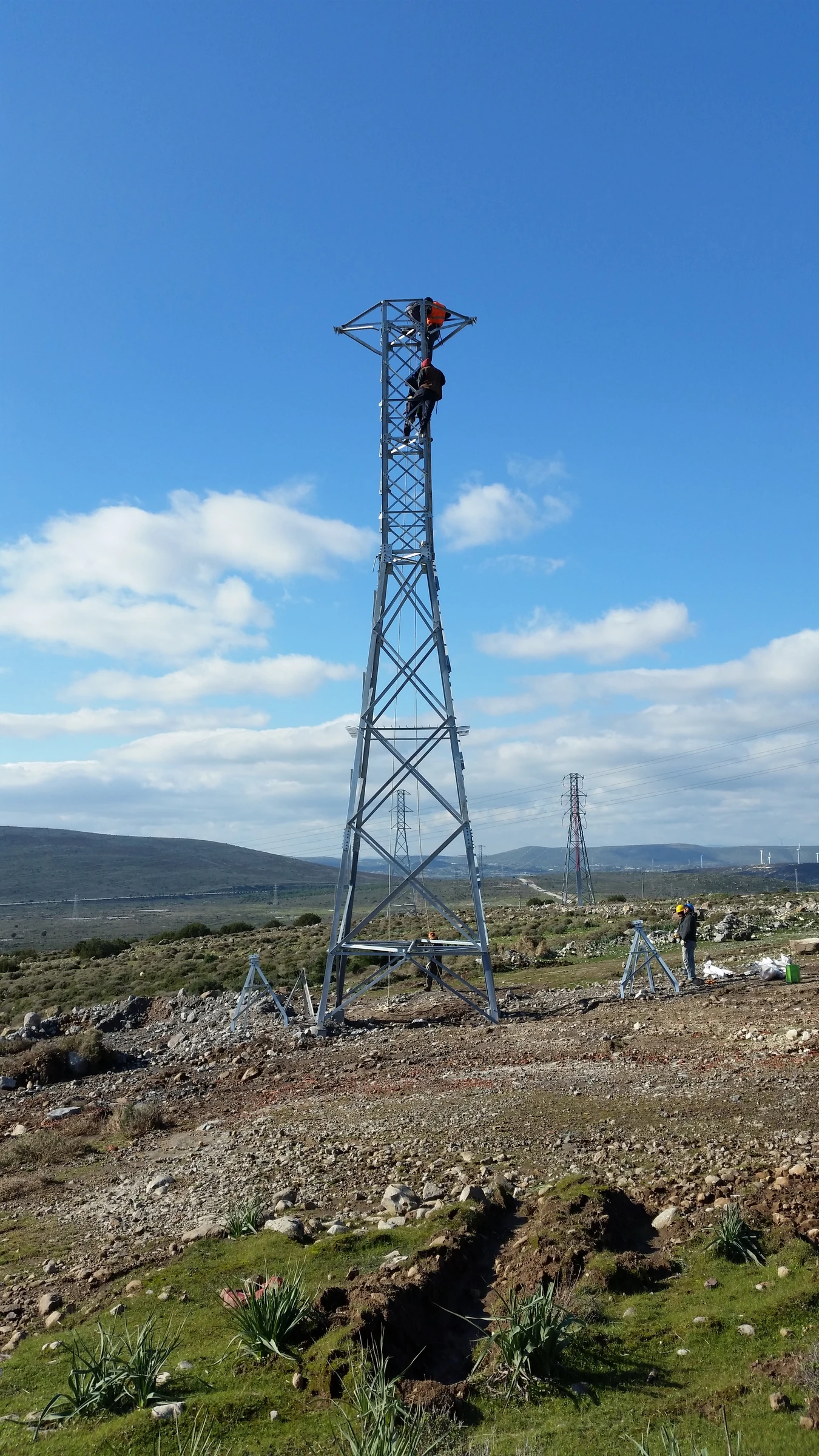
One project.
Technical consistency
at every stage.
FROM OUR PROJECT ARCHIVE
Engineering.
Real-world experience.
TOPTAŞ ENERJİ / PROJECT EXPERIENCE
POWER TRANSMISSION LINE
POWER TRANSMISSION LINE
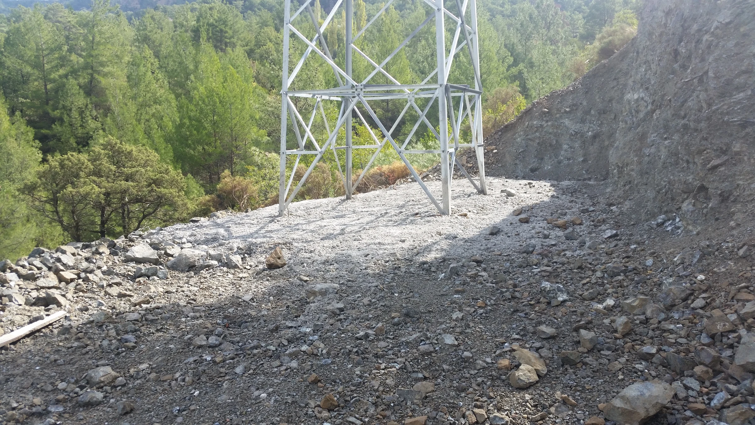
380kV Egemer 380 TM - Tosçelik 380 TM EİH
- LINE LENGTH
- 16 km
- SERVICE AREA
- Line design
CLIENT / INSTITUTIONZRD MÜHENDİSLİK LTD. ŞTİ.
Explore the reference entryCOMPANY FIELD ARCHIVE
Where our work
takes shape.
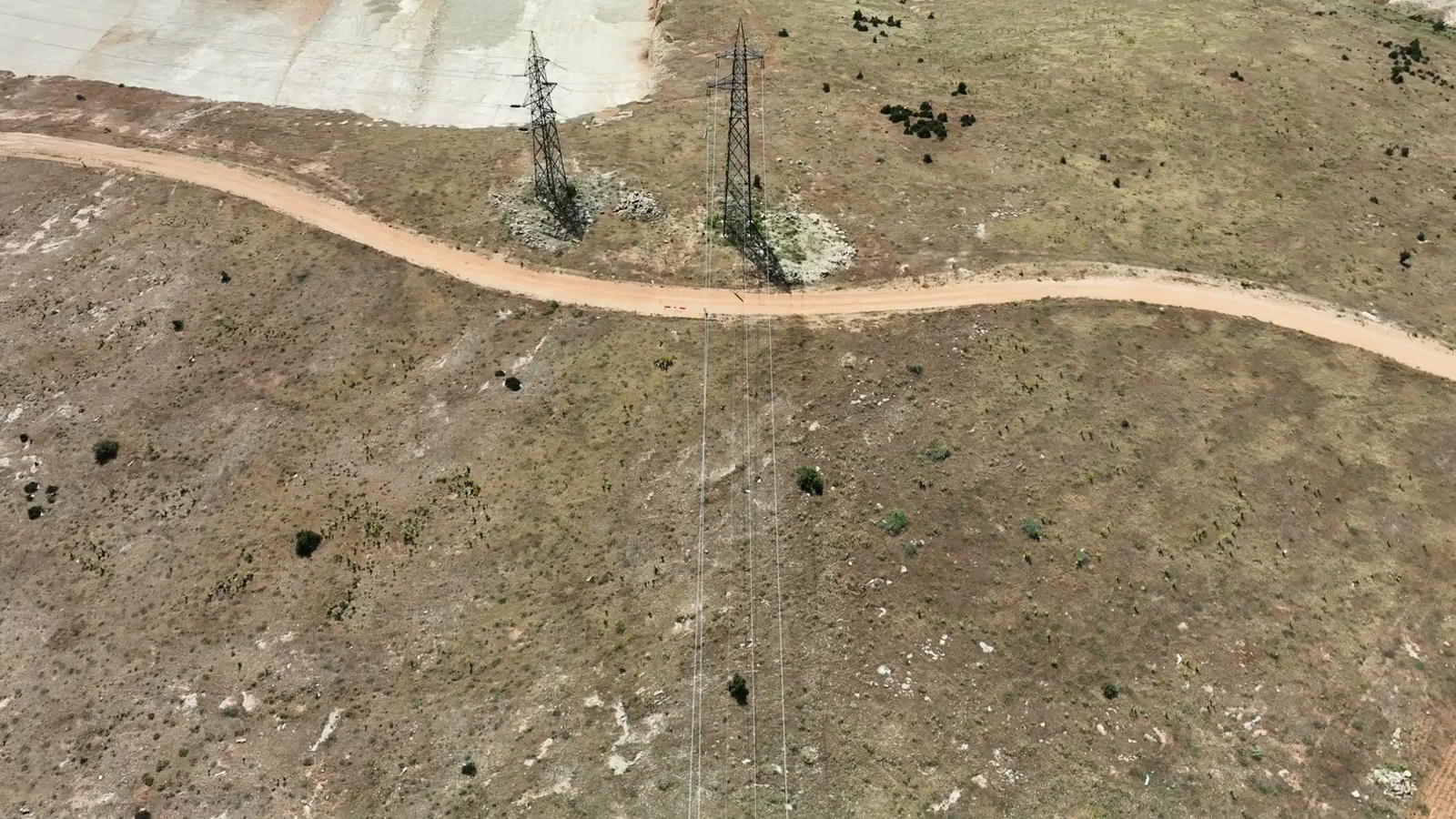
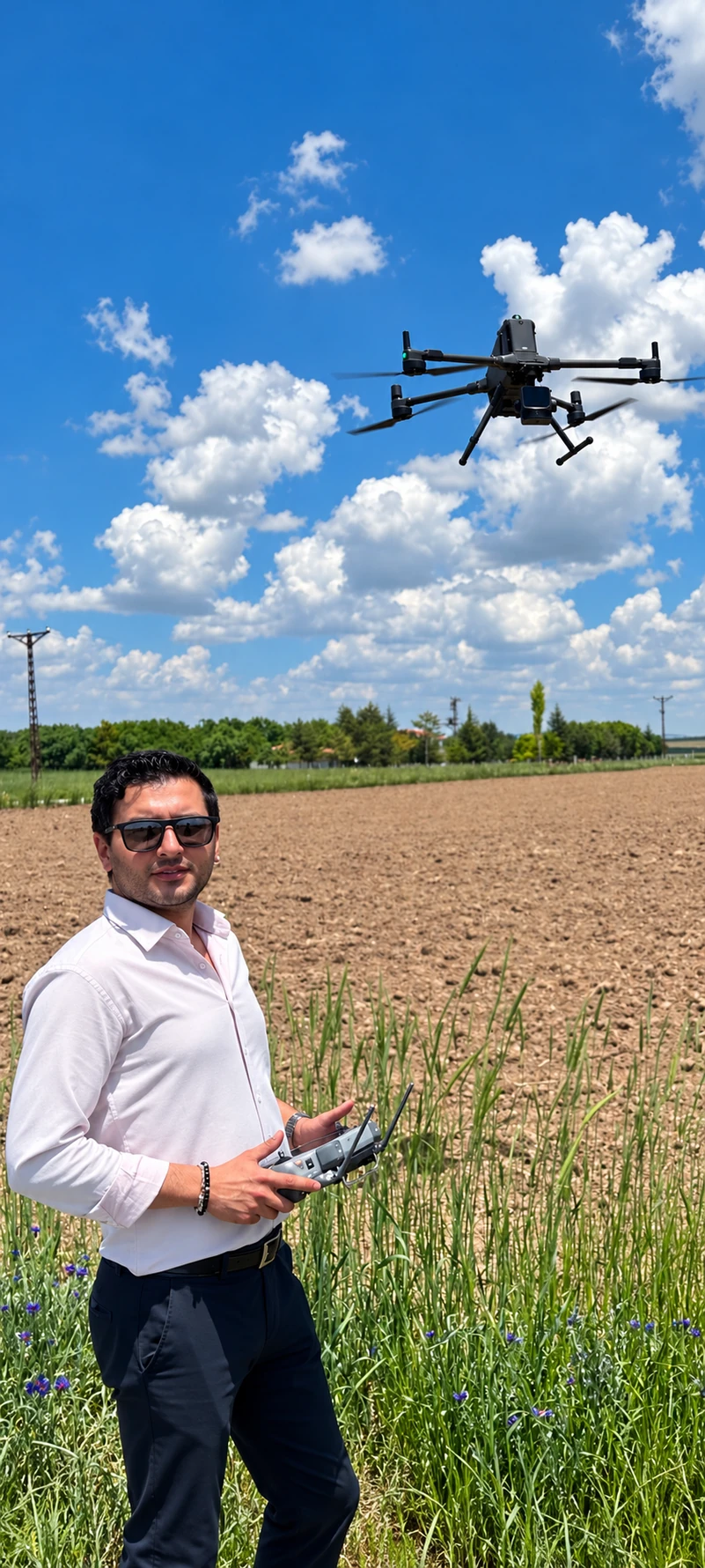
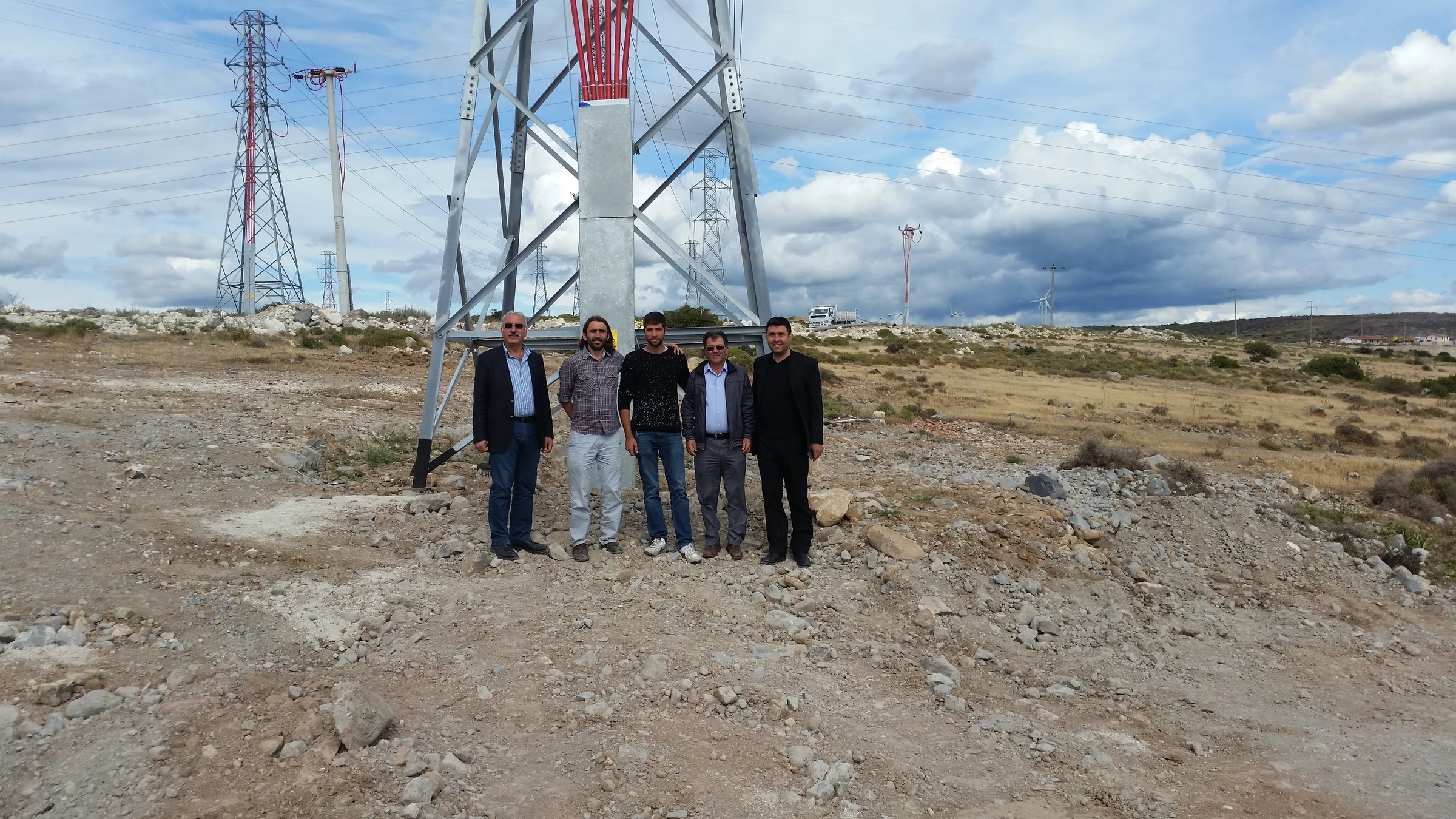
CLIENTS FROM OUR
SELECTED PROJECT RECORDS